Important: This documentation is about an older version. It's relevant only to the release noted, many of the features and functions have been updated or replaced. Please view the current version.
ArcGIS layer
An ArcGIS layer is a layer from an ESRI ArcGIS MapServer.
Options
Server Instance to select the map type.
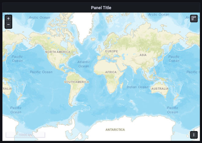
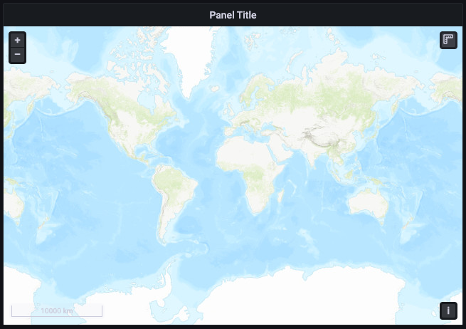
- World Street Map
![Geomap panel ArcGIS World Street Map Geomap panel ArcGIS World Street Map]()
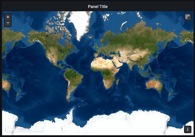
Geomap panel ArcGIS World Street Map - World Imagery
![Geomap panel ArcGIS World Imagery Geomap panel ArcGIS World Imagery]()
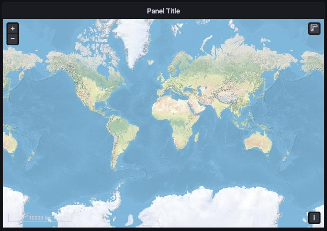
Geomap panel ArcGIS World Imagery - World Physical
![Geomap panel ArcGIS World Physical Geomap panel ArcGIS World Physical]()
Geomap panel ArcGIS World Physical - Topographic
![Geomap panel ArcGIS Topographic Geomap panel ArcGIS Topographic]()
Geomap panel ArcGIS Topographic - USA Topographic
![Geomap panel ArcGIS USA Topographic Geomap panel ArcGIS USA Topographic]()
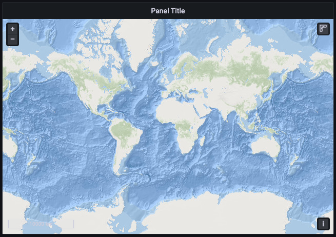
Geomap panel ArcGIS USA Topographic - World Ocean
![Geomap panel ArcGIS World Ocean Geomap panel ArcGIS World Ocean]()
Geomap panel ArcGIS World Ocean - Custom MapServer (see XYZ for formatting)
- URL template
- Attribution
- World Street Map
Opacity from 0 (transparent) to 1 (opaque)
![Geomap panel ArcGIS options Geomap panel ArcGIS options]()
Geomap panel ArcGIS options
