Important: This documentation is about an older version. It's relevant only to the release noted, many of the features and functions have been updated or replaced. Please view the current version.
Map Controls
The map controls section contains various options for map information and tool overlays.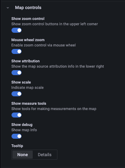
Zoom
This section describes each of the zoom controls.
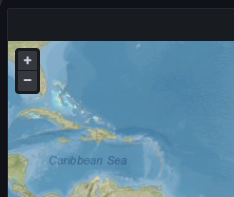
Show zoom control
Displays zoom controls in the upper left corner. This control can be useful when using systems that don’t have a mouse.
Mouse wheel zoom
Enables the mouse wheel to be used for zooming in or out.
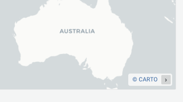
Show attribution
Displays attribution for basemap layers.
Show scale
Displays scale information in the bottom left corner.
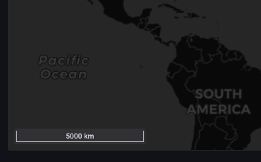
Note: Currently only displays units in [m]/[km].
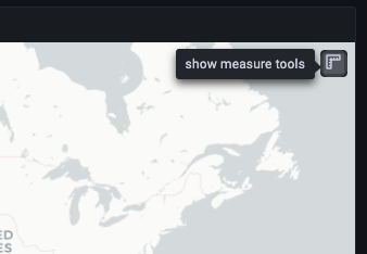
Show measure tools
Displays measure tools in the upper right corner. Measurements appear only when this control is open.
- Click to start measuring
- Continue clicking to continue measurement
- Double-click to end measurement
Note:
- When you change measurement type or units, the previous measurement is removed from the map.
- If the control is closed and then re-opened, the most recent measurement is displayed.
- A measurement can be modified by clicking and dragging on it.
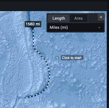
Length
Get the spherical length of a geometry. This length is the sum of the great circle distances between coordinates. For multi-part geometries, the length is the sum of the length of each part. Geometries are assumed to be in ‘EPSG:3857’.
- Metric (m/km)
- Feet (ft)
- Miles (mi)
- Nautical miles (nmi)
Area
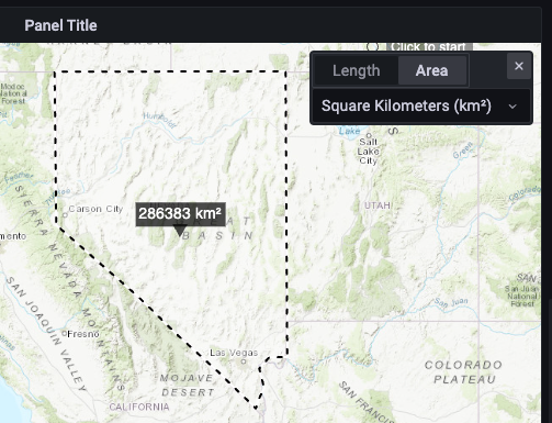
Get the spherical area of a geometry. This area is calculated assuming that polygon edges are segments of great circles on a sphere. Geometries are assumed to be in ‘EPSG:3857’.
- Square Meters (m²)
- Square Kilometers (km²)
- Square Feet (ft²)
- Square Miles (mi²)
- Acres (acre)
- Hectare (ha)
Show debug
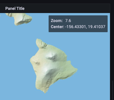
Displays debug information in the upper right corner. This can be useful for debugging or validating a data source.
- Zoom displays current zoom level of the map.
- Center displays the current longitude, latitude of the map center.
Tooltip
- None displays tooltips only when a data point is clicked.
- Details displays tooltips when a mouse pointer hovers over a data point.
Was this page helpful?
Related resources from Grafana Labs
